

Image Details
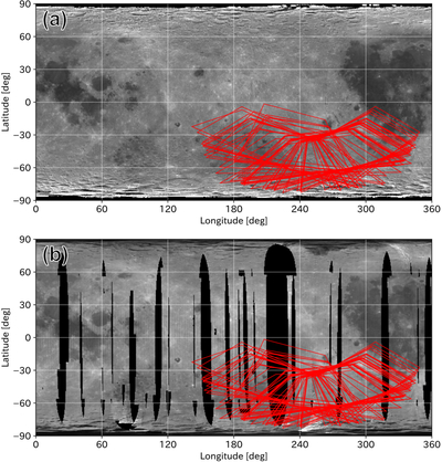
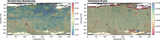
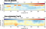
Caption: Figure 1.
Map of the Moon from (a) SP data (Y. Yokota et al. 2011, 2012) and (b) M3 data, with projected footprints of NIRS3 (in red) during the Hayabusa2 Earth swing-by on 2015 December 5.
Other Images in This Article
Show More
Copyright and Terms & Conditions
© 2026. The Author(s). Published by the American Astronomical Society.

Copyright ©
2026 Astronomy Image Explorer. All Rights Reserved.
