

Image Details
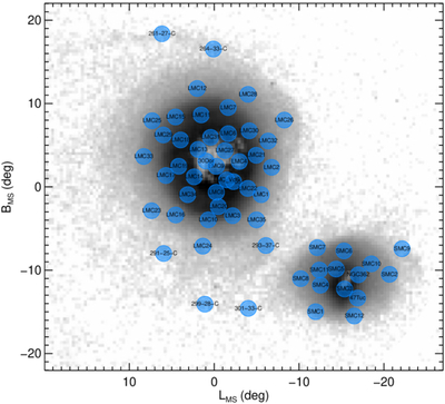
Caption: Figure 1.
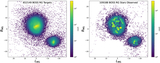
Map of the SDSS-IV/APOGEE-2S MC survey fields (blue) shown on top of the V. A. Belokurov & D. Erkal (2019) RGB star density map (grayscale), projected in the Magellanic Stream coordinate system (D. L. Nidever et al. 2008). While the SDSS-IV data sample a large radial and azimuthal range in the MCs, they only fill 33% of the area in the LMC and SMC main bodies. Conversely, the MGS covers the entire Magellanic system.
Other Images in This Article
Show More
Copyright and Terms & Conditions
© 2026. The Author(s). Published by the American Astronomical Society.

Copyright ©
2026 Astronomy Image Explorer. All Rights Reserved.
